Creating graphic documents that accurately display the relief and objects of locality is a difficult task. To create a drawing, it is necessary to carry out geodetic measurements
Topographic survey in Russia - one of the most highly sought geodesic works. Cities are becoming densely populated, so we are ordered to take pictures of the terrain, even to update existing drawings.
Shooting details
Geodetic surveying and mapping are used in different spheres of human activity. We develop drawings for:
- creation of project, general and executive documentation in construction;
- mapping the relief of the bottom of reservoirs on plans and maps;
- vertical land planning;
- determine the area of land before the sale of the territory;
- creation of landscape design;
- create navigation maps.
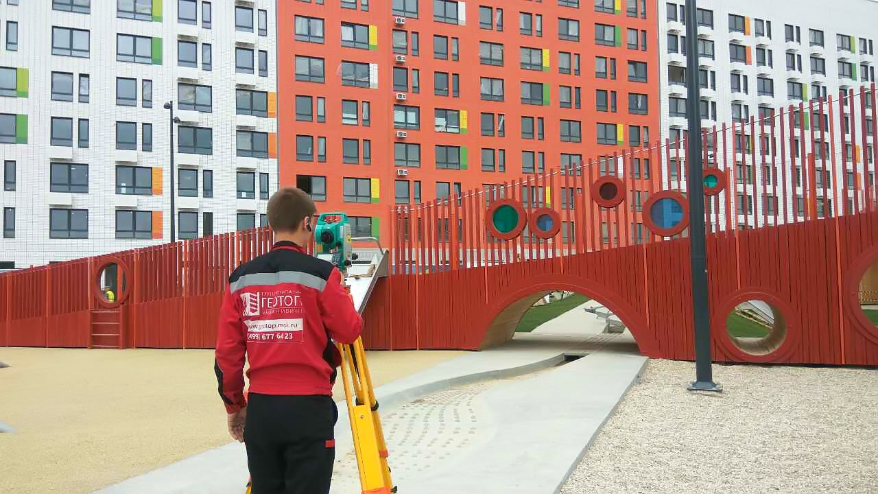
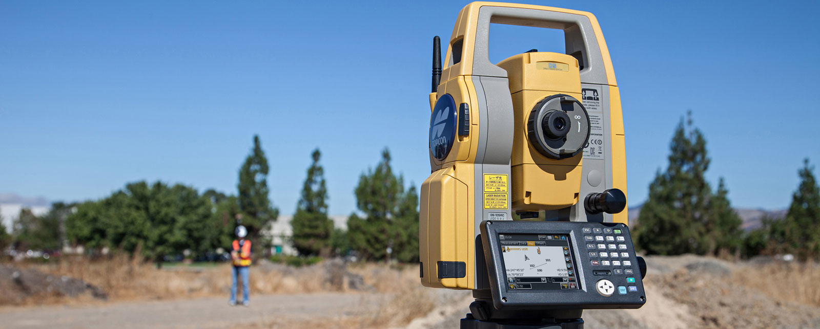
Our company “GeoGIS” conducts survey of any complexity, in any areas. Even if your land plot has hard-to-reach places, we know how to shoot and compile accurate graphic documents. If it is not possible to conduct a ground survey, we will perform measurements from the air using unmanned aerial vehicles. In all other cases, we conduct survey with tacheometers and gps-receivers.
The shelf life of the drawing - 1 year from the date of creation. If you have an old drawing of the area, you can order an update of the documentation with us. Based on the available documents, we will shoot the changes and draw up a new drawing that reflects the position of the objects on the ground.
How is the shooting?
We divide the geodetic land survey in Russia into several stages. This is due to the large number of diverse tasks in the course of research. First of all, we study our goals, collect archived information, and conclude an agreement with a client. Taking into account the features of the area, we choose the appropriate devices for shooting.
The next stage is a trip to the area, reconnaissance, the creation of a shooting study and measurement of the site. The received data is transmitted to the office for office processing. Further, our land surveyor engineer processes the measurement result and creates graphic documents.
We provide the client with the result of survey in the form of a technical conclusion. The report data will be used by different organizations (for example, builders or designers), so we provide the customer with a free digital version of the report.
If you need topographic land surveyors in Moscow - call our company “GeoGIS”. We work with an SRO approval and use regulatory documents for measuring and drawing up drawings.
Cost of shooting
Topo survey cost in Moscow depends on the specifics of your order. The price is affected by: the area of your site, the topography of the area and the density of the building, the timing of the report, the availability of archival documentation on the site.
Each land plot is unique, as are the goals of the client. Therefore, we first study the features of the order and only then we announce the topo surveys cost in Moscow.
If you need to perform several types of geodetic measurements (for example, on a building site) - make a comprehensive order with us. It will cost less and you will spend less time for the conclusion of contracts.
Our company “GeoGIS” does not include the cost of fuel for the road to the object. We guarantee fast execution of surveys at an affordable price, regardless of the geolocation of the site.
Why are we recommended ?
Over the years of practice, we have learned how to perform any geodetic land survey in Russia. We work for quality, do not violate the agreed deadlines and provide results in a short time. When ordering our services, you will receive:
- work on the order from the first day;
- solution of any geodetic tasks;
- shooting of a site with a trusted equipment;
- I guarantee coordination, and if necessary - we will take part in the process;
- reasonable price of services and discounts.
If you need topographic land surveyors in Moscow - call us. We will quickly accept your order and tell you the details of the measurements.

